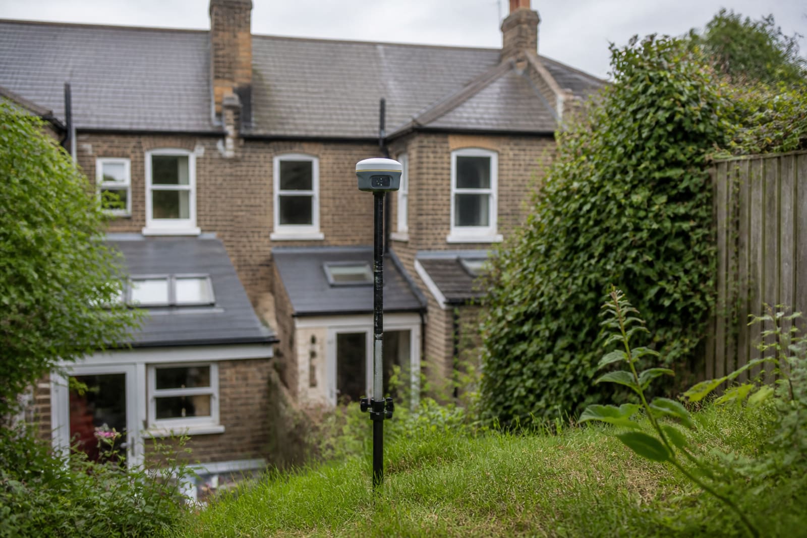
Topographical surveys
Topographical surveys map the physical features of a site including ground levels, trees, buildings, boundaries, and utilities. Using GPS, total stations, and drones, surveyors create detailed plans showing contours and spot heights. Essential for architects and engineers to design drainage, access roads, and building positions that work with the existing terrain.
Services that a Land Surveyor can provide
- Ground level contours
- Spot height measurements
- Boundary positions
- Tree and vegetation mapping
- Building footprints
- Utility locations
- Access and road levels
- Drainage run positions
Average Pricing
Garden Plot
£500
Up to 500m²
Residential Site
£900
Standard plot
Large Site
£2,500+
Development sites
*Indicative price ranges from our market research. Actual quotes vary based on location, property size, and complexity.