Moving to Glastonbury: Location Guide and Property Overview
By Housey · Last reviewed 31st of May 2026
Moving to Glastonbury: Location Guide and Property Overview
Glastonbury sits at the edge of the Somerset Levels, roughly 23 miles south-west of Wells and 36 miles south of Bristol, and it attracts a distinctive mix of buyers: young families drawn by relatively affordable Somerset prices, remote workers seeking a slower pace, and those who value the town's well-established independent culture. Whether you are considering a Victorian terrace in the town centre or a modern house on one of the newer estates, understanding the local market, flood environment, and planning context will help you make a better-informed purchase decision.
Key points
- Somerset Council became the single unitary authority for Somerset in April 2023, replacing the previous two-tier district-county arrangement; it now handles all planning applications for Glastonbury.
- Parts of Glastonbury and much of the surrounding Somerset Levels are classified as Flood Zone 2 or Flood Zone 3 by the Environment Agency — flood risk must be checked before you exchange contracts.
- Glastonbury's historic town centre is a designated conservation area, meaning permitted development rights are restricted and external alterations typically require conservation area consent.
- The nearest mainline railway stations are Castle Cary (approximately 12 miles) and Bridgwater (approximately 15 miles); there is no direct rail service into Glastonbury itself.
- The town has a population of around 9,000 (ONS 2021 Census) and sits adjacent to Street, which shares some schools and amenities.
What Glastonbury is like to live in
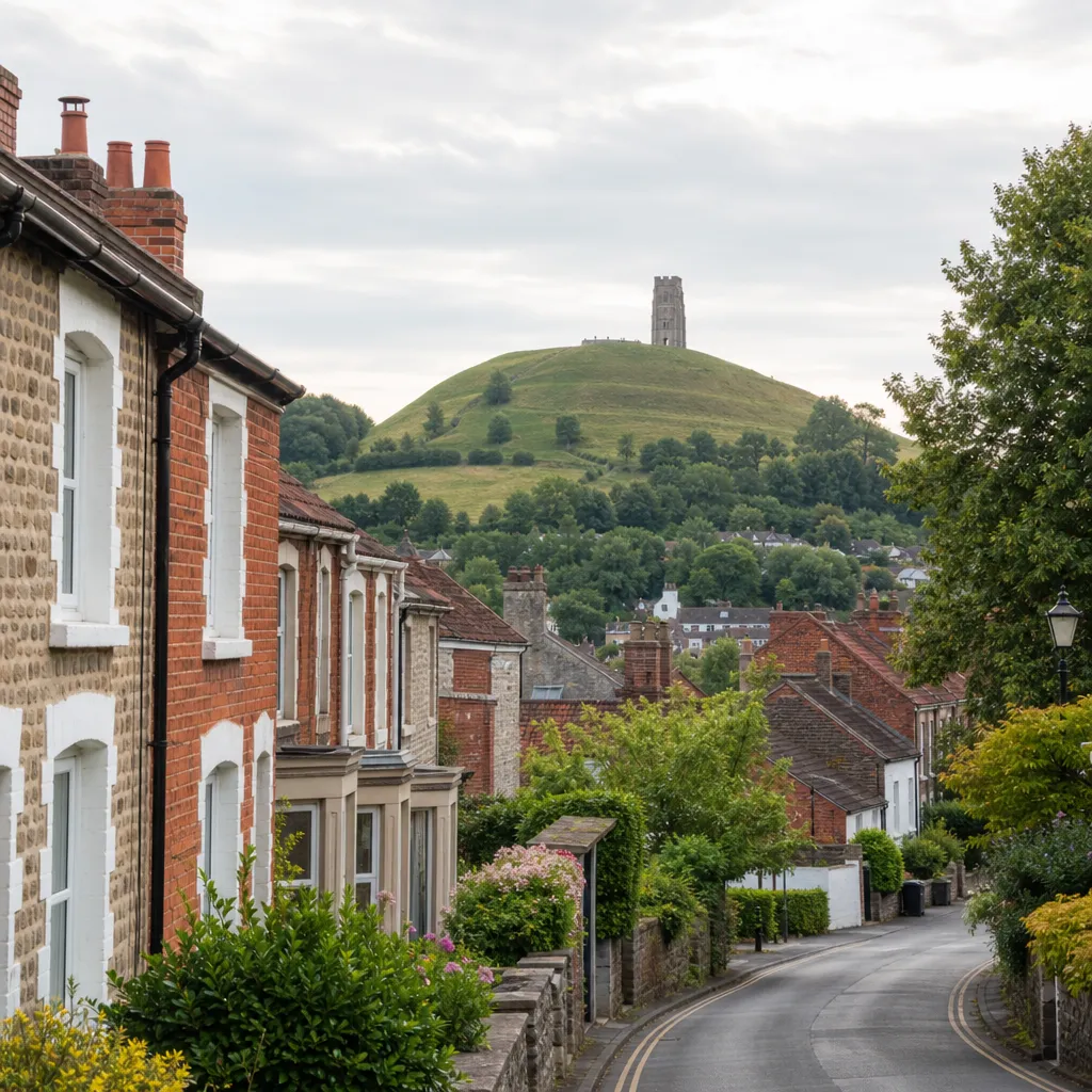
Glastonbury is one of the few small market towns in England that combines a working-community character with a cultural reputation extending well beyond its size. The high street hosts independent shops, health-food cafés, and a weekly market. The Glastonbury Tor — a SSSI-designated hill with a ruined medieval tower — rises above the town and is freely accessible year-round. The town draws visitors throughout the year, which supports the local economy but brings parking and traffic pressure during busier periods.
The population is notably mixed: long-term Somerset residents, creative professionals who have relocated, and a substantial alternative-lifestyle community. Prospective buyers should visit at different times of year to assess whether the atmosphere suits them. The Glastonbury Festival takes place at Worthy Farm in Pilton, approximately 6 miles away — it is not held in the town itself.
Property types and what to expect from the market
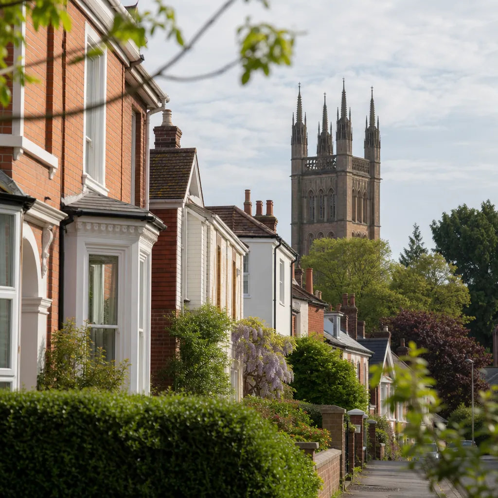
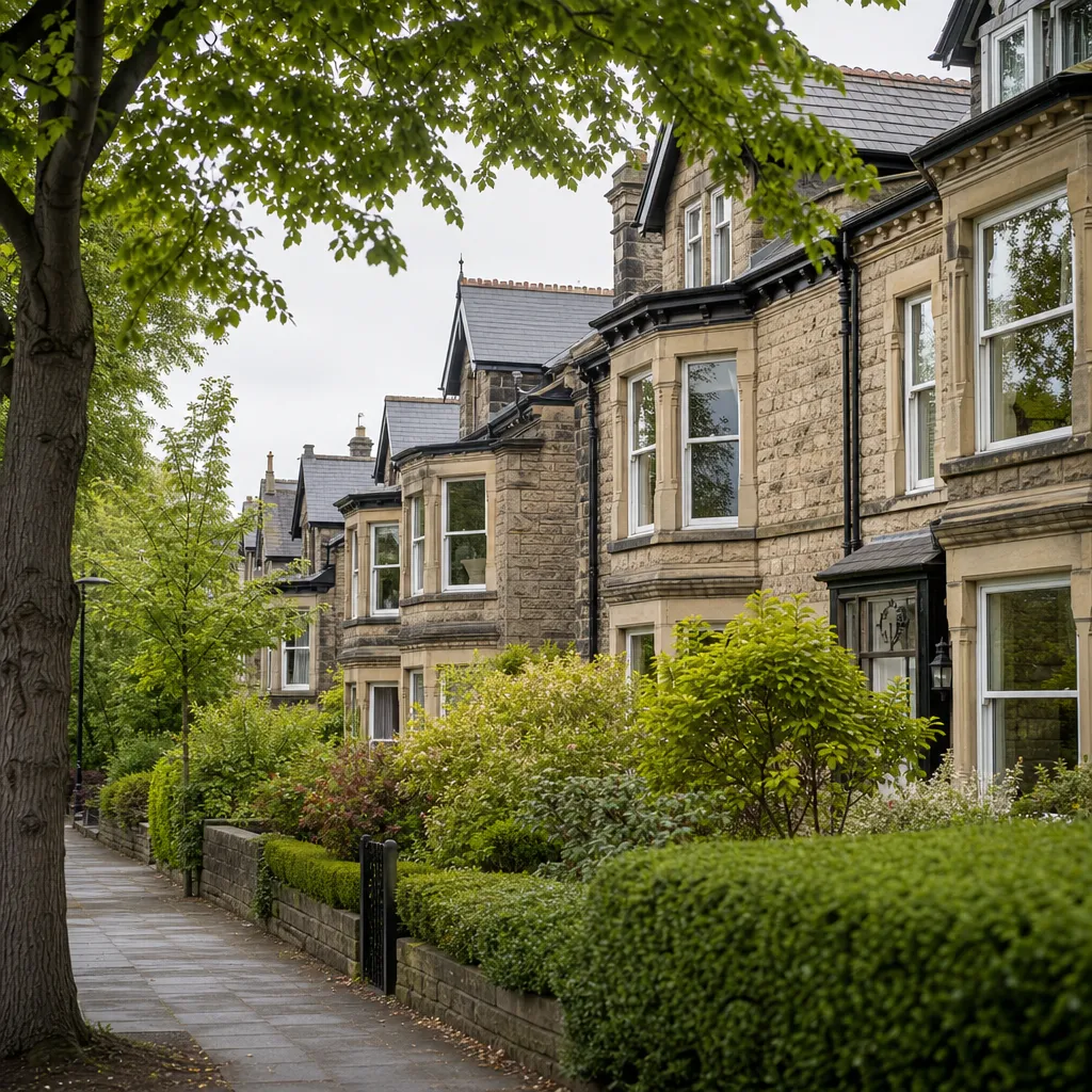
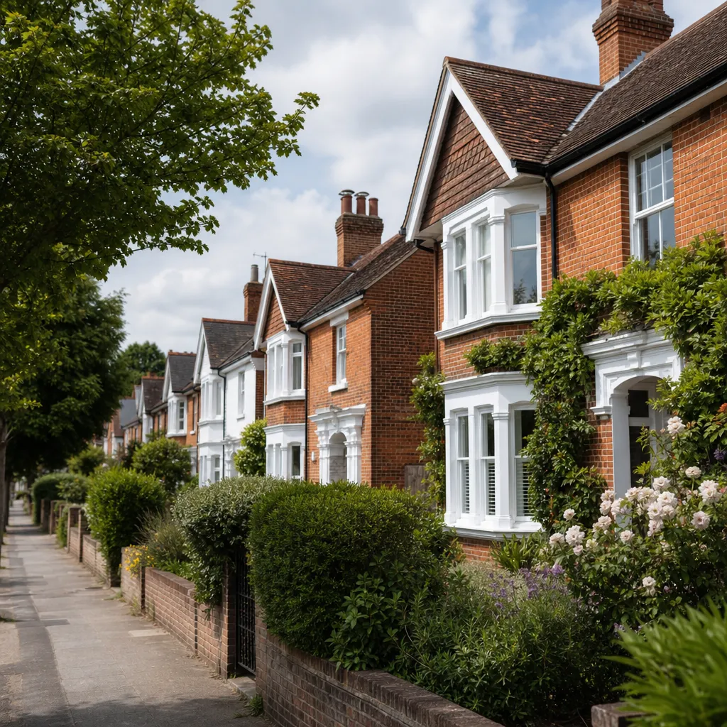
The housing stock is varied. The town centre contains stone-built Victorian and Edwardian terraces, some older period properties, converted flats above commercial premises, and a handful of listed buildings. Further out, 1960s–1980s estates provide more conventional family homes, and newer cul-de-sac developments sit on the northern and eastern edges of the town. Farmhouses and rural cottages are available in the surrounding Levels villages — Meare, Godney, Westhay — though these carry their own flood and access considerations.
Indicative UK costs, last reviewed 2026-05-31. Somerset generally sits below the national average house price, and Glastonbury is broadly comparable to Street and Shepton Mallet. For current transaction data, the HM Land Registry House Price Index provides postcode-level sold prices. Always commission an independent valuation or review recent comparables before making an offer.
Neighbourhood area comparison
Area | Character | Typical property types | Flood risk note |
|---|---|---|---|
Town centre (BA6 9) | Conservation area, walkable, independent shops | Victorian terraces, converted flats, some listed buildings | Low-lying streets: check EA flood map per plot |
Benedict Street / Chilkwell Street area | Quieter residential, close to the Tor | Period stone cottages, semis | Generally lower risk; verify per address |
Northern estates (Wick Road area) | Family estates, more modern stock | 1970s–1990s semis and detached | Lower elevation; generally lower risk |
Somerset Levels villages (Meare, Godney) | Rural, quiet, isolated in wet winters | Farmhouses, rural cottages | Often Flood Zone 2–3 — verify carefully |
Schools and local amenities
Glastonbury and the adjacent town of Street share school catchment areas. Primary provision includes St John's Church of England First and Middle School in Glastonbury. At secondary level, many pupils attend St Benedict's Catholic School in Street. Strode College in Street provides sixth-form and further education.
Ofsted ratings change, so check current inspection results on the Ofsted website before making a school-dependent purchase decision. Catchment boundaries are set by Somerset Council — confirm your specific address with the admissions team directly.
For day-to-day amenities, Glastonbury has a supermarket, independent grocers, a leisure centre, and a library. Street, around five minutes by car, offers a wider retail range including Clarks Village.
Transport and commuting from Glastonbury
Glastonbury has no railway station. For rail travel, most residents drive to:
- Castle Cary (~12 miles, ~20 minutes by car): GWR services to London Paddington (~100 minutes) and Bristol.
- Bridgwater (~15 miles, ~25 minutes): CrossCountry and GWR services.
By road, the A361 connects Glastonbury to Shepton Mallet, Street, and Taunton. The A39 provides access north towards Bristol. Bus services to Wells and Taunton operate but with limited frequency. Remote workers and those commuting to Bristol, Bath, or Taunton will find a car essential.
Flood risk in Glastonbury and the Somerset Levels
This is the most important environmental factor for buyers in this area. The Somerset Levels flooded severely in the 2013–14 winter, among the worst on record for the region. Parts of Glastonbury town — particularly lower-lying streets near the River Brue — and many surrounding villages sit within Flood Zone 2 (medium probability) or Flood Zone 3 (high probability) as mapped by the Environment Agency.
Before you exchange:
- Run the target postcode through the Environment Agency flood risk map — this is free.
- Ask your solicitor to commission an environmental search covering flood, ground contamination, and related risks.
- Raise enquiries through your conveyancer about any previous flood insurance claims on the property.
- Obtain flood insurance quotes early, as premiums in higher-risk areas can be significant.
Relocation checklist for Glastonbury buyers
When to get professional help
If you are buying in a flood-risk area, purchasing a listed building, or considering an older stone property, professional advice is particularly important:
- Flooding: your conveyancer should commission a full environmental search; your surveyor should note any visible damp or evidence of flood history in their report.
- Listed buildings: work with a planning consultant or architect experienced in Somerset conservation areas before budgeting any external alterations.
- Older stone or solid-wall properties: Victorian terraces and period cottages in Glastonbury often have solid stone walls, original roof structures, and historic drainage. A RICS Level 3 Building Survey is usually more appropriate than a Level 2 for these homes.
How Housey can help
Once you have identified a Glastonbury property you want to buy, Housey can connect you with qualified solicitors through our conveyancing service to handle the legal process — including flood and environmental searches relevant to the Somerset Levels. If you are selling a Glastonbury home, our property photography and floorplans service can help present your property effectively to buyers across the UK.
Frequently asked questions
Is Glastonbury a good place to buy property?
Glastonbury suits buyers seeking an independent, heritage-rich Somerset market town with good countryside access and prices generally below the national average. The key considerations are flood risk (check the Environment Agency map for your specific address), limited public transport, and the town's distinctive cultural character. It is less suited to buyers who need regular rail commuting or prefer a conventional retail high street.
What is flood risk like in Glastonbury?
Parts of Glastonbury town and much of the surrounding Somerset Levels fall within Environment Agency Flood Zone 2 (medium probability) or Flood Zone 3 (high probability). The 2013–14 winter floods caused widespread damage across the region. Always check the EA flood risk map for your specific address and ensure your solicitor commissions an environmental search before exchange of contracts.
Does Glastonbury have good schools?
Glastonbury's schools are closely linked with adjacent Street. Primary provision is available in both towns, with St Benedict's Catholic School in Street providing secondary education for many Glastonbury pupils, and Strode College offering sixth-form education. Always verify current Ofsted ratings and catchment boundaries directly with Somerset Council admissions before making a school-dependent purchase.
Is there a train station in Glastonbury?
No. Glastonbury has no railway station. The nearest mainline stations are Castle Cary (approximately 12 miles, around 20 minutes by car) and Bridgwater (approximately 15 miles). From Castle Cary, GWR services reach London Paddington in approximately 100 minutes and Bristol in under an hour. Most residents rely on private transport for all rail journeys.
What is Glastonbury's conservation area?
Much of Glastonbury's historic town centre is a designated conservation area, which restricts permitted development rights. External alterations — including changes to windows, doors, and roof materials — often require conservation area consent in addition to, or instead of, standard planning permission. Confirm requirements with Somerset Council's planning department before planning any external works.
Sources and further reading
- Check long-term flood risk for an area in England — Environment Agency
- UK House Price Index — HM Land Registry
- Census 2021: population data for England and Wales — Office for National Statistics
- Somerset Council: planning, buildings and land — Somerset Council
- Ofsted: school inspection reports — Ofsted
Useful next reads
 Buying & Moving
Moving to Taunton: location guide and property overview
Taunton is Somerset's county town with direct rail links to London Paddington in under two hours, M5 motorway access, and property prices below the South West regional average.
 Buying & Moving
Moving to Harrogate: Location Guide and Property Information
Harrogate is a North Yorkshire spa town approximately 21 miles from Leeds, with direct rail links to Leeds (30–45 mins) and York.
 Buying & Moving
Moving to Stockport: Location Guide and Property Information
Stockport is a well-connected Greater Manchester town around 7–8 miles south-east of Manchester city centre, with direct trains to Piccadilly in 8–15 minutes and to London Euston in under two hours.
 Buying & Moving
Properties and Relocation Guide for the Home Counties Region
The Home Counties — Surrey, Hertfordshire, Kent, Essex, Berkshire, Buckinghamshire, and East and West Sussex — offer a wide range of property types, with rail connections to London typically taking 20–60 minutes.
 Buying & Moving
Essential Services and Support for Moving to London Neighbourhoods
Moving to London requires coordinating conveyancing, surveys, and removal logistics within tight timeframes.