Modern Roof Surveying: Drone Technology and Data-Driven Inspection Methods
By Housey · Last reviewed 19th of May 2026
Modern Roof Surveying: Drone Technology and Data-Driven Inspection Methods
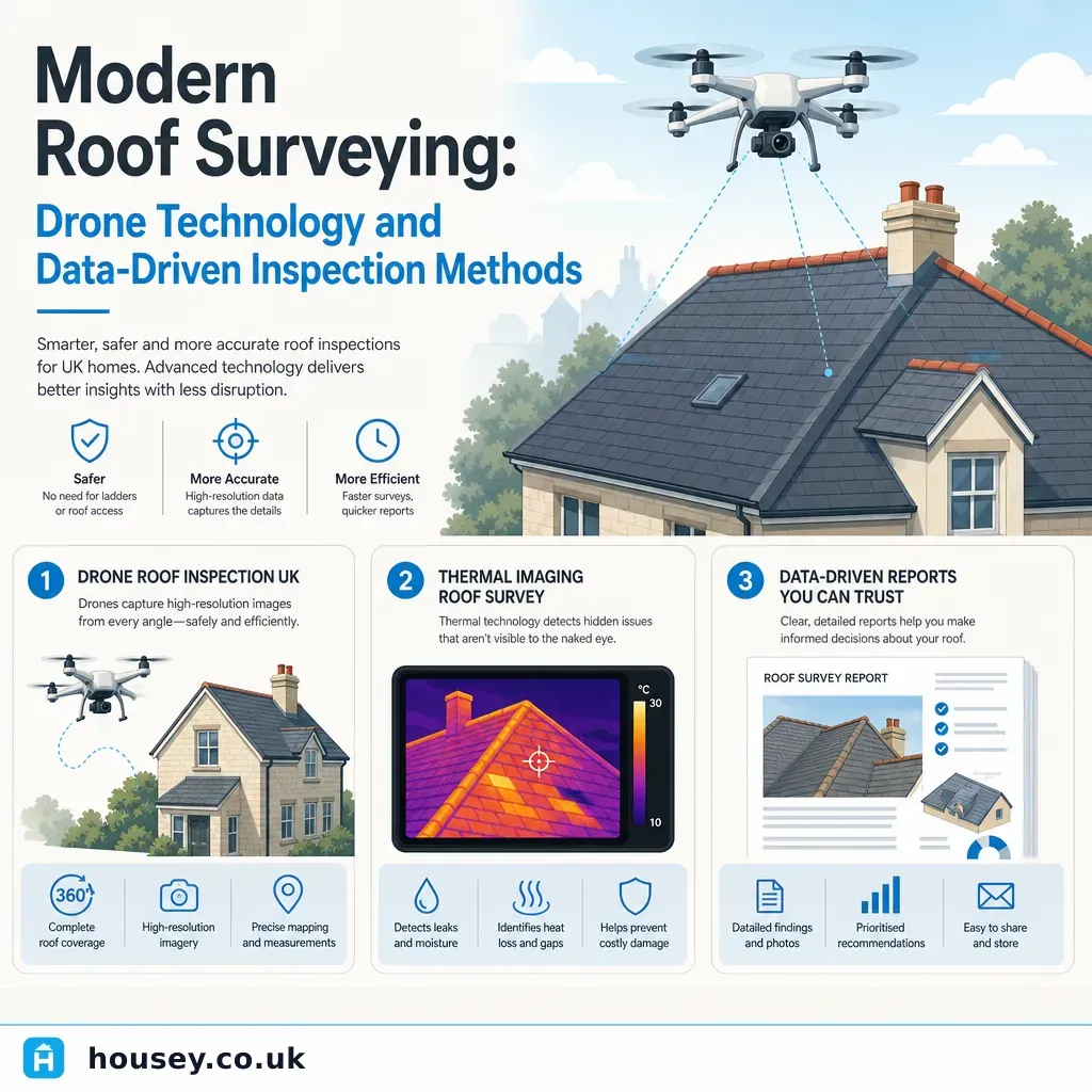
Roof inspections have traditionally required scaffolding, access equipment, or a surveyor physically climbing onto a roof surface — processes that add cost, time, and their own health and safety considerations to an already complex assessment. Drone-based inspection is changing this across the UK, offering faster mobilisation, reduced access costs, and new categories of data — thermal imaging, photogrammetric 3D modelling — that were impractical to obtain by conventional means. For homeowners commissioning a survey, understanding what drone technology can and cannot offer helps you choose the right method for your property and your purpose.
Key points
- Commercial drone operators in the UK must hold a valid Civil Aviation Authority (CAA) qualification — either the General Visual Line of Sight Certificate (GVC) or the A2 Certificate of Competency (A2 CofC) — and register with the CAA's Drone and Model Aircraft Registration and Education Service (DMARES).
- Thermal imaging drones detect temperature differentials that indicate moisture ingress, missing insulation, and heat-loss pathways not visible to a standard camera or the naked eye.
- Photogrammetric processing software converts overlapping drone photographs into millimetric-accuracy 3D point clouds, enabling accurate measurement of roof geometry and condition mapping without physical access.
- Drone surveys do not replace a physical inspection for all purposes: structural assessments, detailed material identification, and any inspection requiring hands-on probing or material sampling still require a qualified professional on or in the roof.
- Drone imagery cannot confirm the presence or absence of asbestos-containing materials; physical sampling by a UKAS-accredited surveyor is required for pre-2000 properties where doubt exists.
Traditional vs drone roof inspection: a comparison
Method | Best for | Not ideal for | Typical output | Main cost driver |
|---|---|---|---|---|
Ground-level visual inspection | Quick checks, single-storey or simple roofs | Large, complex, or high roofs; hidden defects | Brief written report, photographs | Minimal — but limited data |
Drone visual (RGB) survey | Initial condition assessment, large or inaccessible roofs, photographic records | Detailed defect diagnosis; material sampling; structural probing | Georeferenced photographs, condition report, optional orthomosaic | CAA qualification; equipment cost |
Drone thermal imaging survey | Moisture ingress, insulation gaps, heat-loss mapping | Requires suitable temperature differential; not a substitute for physical investigation | Thermal map, annotated overlay, moisture risk assessment | Higher equipment cost; specialist interpretation |
Drone photogrammetry / 3D modelling | Accurate dimensional survey, heritage recording, planning applications | Quick condition checks; budget-conscious inspections | 3D point cloud, orthomosaic, measured drawings | Processing time; specialist software |
Full physical inspection (scaffold access) | RICS Level 2 or 3 surveys, structural assessments, pre-purchase inspections | Situations where access is genuinely unsafe or impractical | Detailed report, defect schedule, structural assessment | Scaffold hire; surveyor time on roof |
How a commercial drone roof survey works in practice
A drone roof survey for a residential property typically follows this sequence:
- Pre-flight assessment. The operator checks for CAA airspace restrictions, proximity to aerodromes, and any temporary flight restrictions. In urban areas, operations near people or buildings may require specific CAA Specific Category authorisation.
- Site mobilisation. Unlike scaffolding, a drone crew can typically mobilise within 24 to 48 hours. Equipment commonly includes a commercial-grade drone, a thermal camera module, and ground-control points for photogrammetric accuracy.
- Data capture. The drone flies a planned grid pattern at a specified altitude, capturing overlapping high-resolution images. For thermal surveys, flights are typically conducted in early morning or after sunset to maximise temperature differential between building fabric and ambient conditions.
- Data processing. RGB imagery is processed through photogrammetric software — such as Pix4D or DJI Terra — to produce orthomosaic images and, where required, 3D point clouds. Thermal images are annotated to highlight anomalies.
- Reporting. A qualified building surveyor or specialist consultant interprets the data and produces a written report including georeferenced photographs, an annotated condition plan, and recommendations for further investigation or repair.
What drone surveys can and cannot detect
Drone surveys can typically identify:
- Missing, slipped, or broken roof tiles and slates
- Blocked or defective gutters and downpipes
- Chimney stack condition, flaunching, and pointing defects
- Flat roof surface condition and ponding areas
- Thermal anomalies suggesting moisture ingress, cold bridges, or insulation gaps
- Overall roof geometry and slope deviations (photogrammetry)
Drone surveys cannot replace:
- Physical probing and material sampling to confirm defect cause
- Structural assessment of roof timbers, purlins, rafters, or wallplates — this requires roof-space access
- Confirmation of material composition; distinguishing fibre cement sheets from asbestos-containing corrugated sheets requires physical sampling
- Any inspection requiring a professional to apply judgement through hands-on examination
For a RICS Level 2 or Level 3 Home Survey, drone imagery may supplement a physical inspection but cannot substitute for it.
What to ask before commissioning a drone roof survey
Before instructing a drone surveyor, confirm the following:
When to get professional help
A drone survey is a useful tool, not a complete substitute for professional structural or building assessment. Commission a physical inspection — and consider a structural survey — if:
- Thermal or visual anomalies have been identified that require further investigation
- The property is being purchased and you need pre-exchange due diligence
- The roof contains or may contain asbestos-containing materials — drone imagery alone cannot rule this out
- Building Regulations approval or planning permission is required for repairs or alterations
- Structural elements — ridge, rafters, purlins, or chimney stack foundations — are a concern
For properties where accurate measured data of the roof geometry is needed — heritage buildings, planning applications, insurance reinstatement valuations — a measured building survey or topographical survey may be more appropriate than a standard visual drone survey.
How Housey can help
Housey connects homeowners with qualified professionals offering roof surveys, structural surveys, measured building surveys, and topographical surveys — making it straightforward to compare quotes from verified providers and choose the inspection type suited to your property and purpose.
Frequently asked questions
Do I need planning permission for a drone survey of my own roof?
No planning permission is required for the survey itself. However, the drone operator must comply with CAA regulations, which may require specific permissions depending on proximity to aerodromes, controlled airspace, or densely populated areas. Compliance with CAA rules is the operator's responsibility, not the homeowner's.
Can a drone survey detect asbestos on my roof?
No. Drone imagery cannot confirm the presence or absence of asbestos-containing materials. If your roof has fibre cement sheets, corrugated roofing, or other materials installed before 2000, a physical sample must be taken and analysed by a UKAS-accredited laboratory to determine whether asbestos is present.
Is a drone roof survey accepted by mortgage lenders or insurers?
Usually not as a standalone document for valuation or pre-purchase purposes. Mortgage lenders and most insurers require a physical inspection by a qualified surveyor. A drone survey report may support a physical survey or document condition between formal inspections, but is unlikely to satisfy lender requirements alone.
How much does a drone roof survey cost in the UK?
Costs vary by property size, survey type, and whether thermal imaging or photogrammetric processing is included. Indicative UK costs, last reviewed 2026-05-19: a basic visual drone survey on a standard residential property typically ranges from approximately £200 to £400; a full thermal and photogrammetric survey with a professional report may range from £500 to £1,500 or more. Always obtain multiple quotes and compare scope carefully.
Sources and further reading
- Rules and categories of drone flying — Civil Aviation Authority
- Asbestos: the hidden killer — Health and Safety Executive
- RICS Home Surveys Standard — RICS
- Roof work: safety guidance — Health and Safety Executive
Useful next reads
 Surveys & Inspections
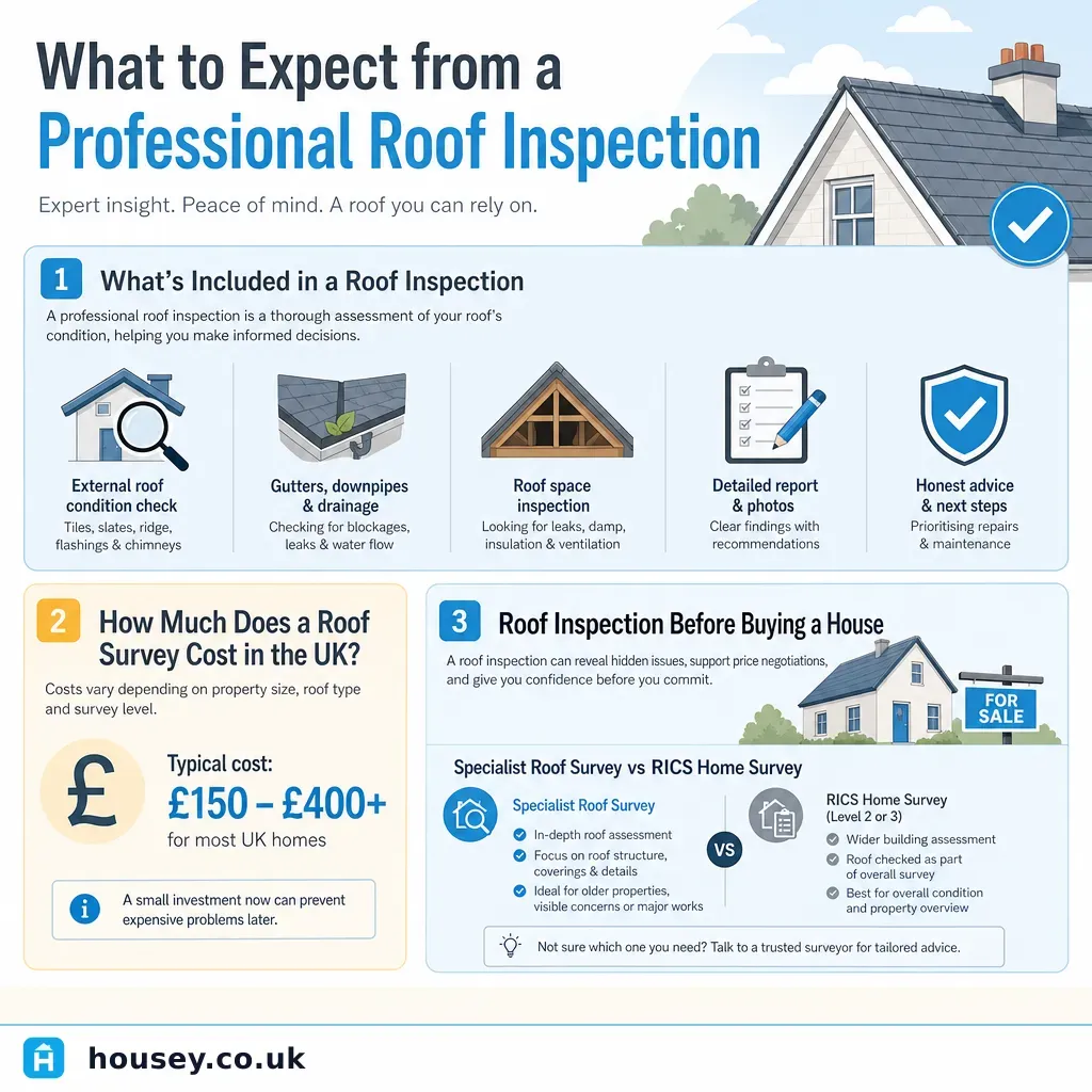
What to Expect from a Professional Roof Inspection
A professional roof inspection involves a qualified specialist examining your roof coverings, flashings, mortar, gutters, and structure.
 Surveys & Inspections
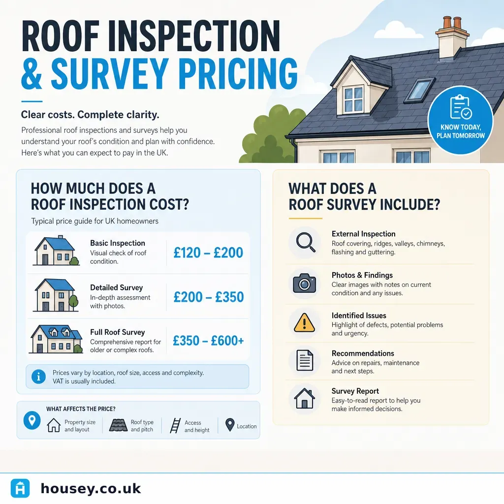
Roof Inspection and Survey Pricing
A professional roof inspection costs £150–£350 for a hands-on roofer survey, rising to £300–£800 for drone or thermal imaging surveys, and £600–£1,500 or more for a RICS Level 3 Building Survey.
 Surveys & Inspections
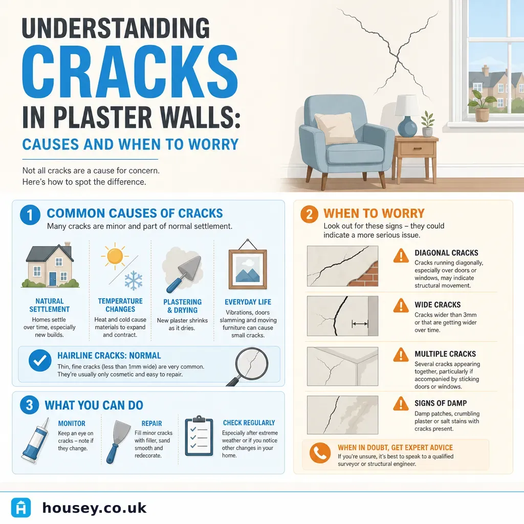
Understanding Cracks in Plaster Walls: Causes and When to Worry
Most hairline plaster cracks are cosmetic, caused by seasonal shrinkage or minor settlement.
 Surveys & Inspections
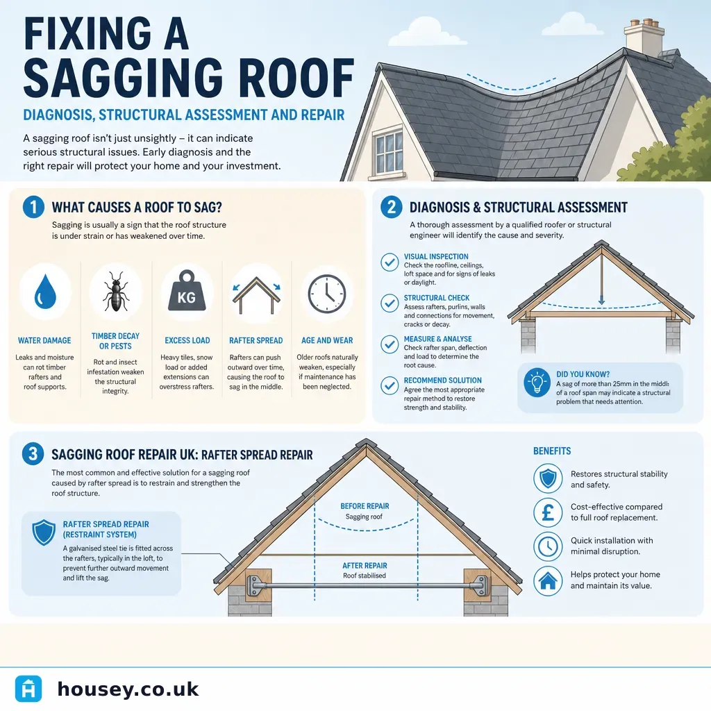
Fixing a Sagging Roof: Diagnosis, Structural Assessment and Repair
A sagging roof usually points to failed or overloaded roof timbers, rafter spread, or a compromised ridge board.
 Surveys & Inspections
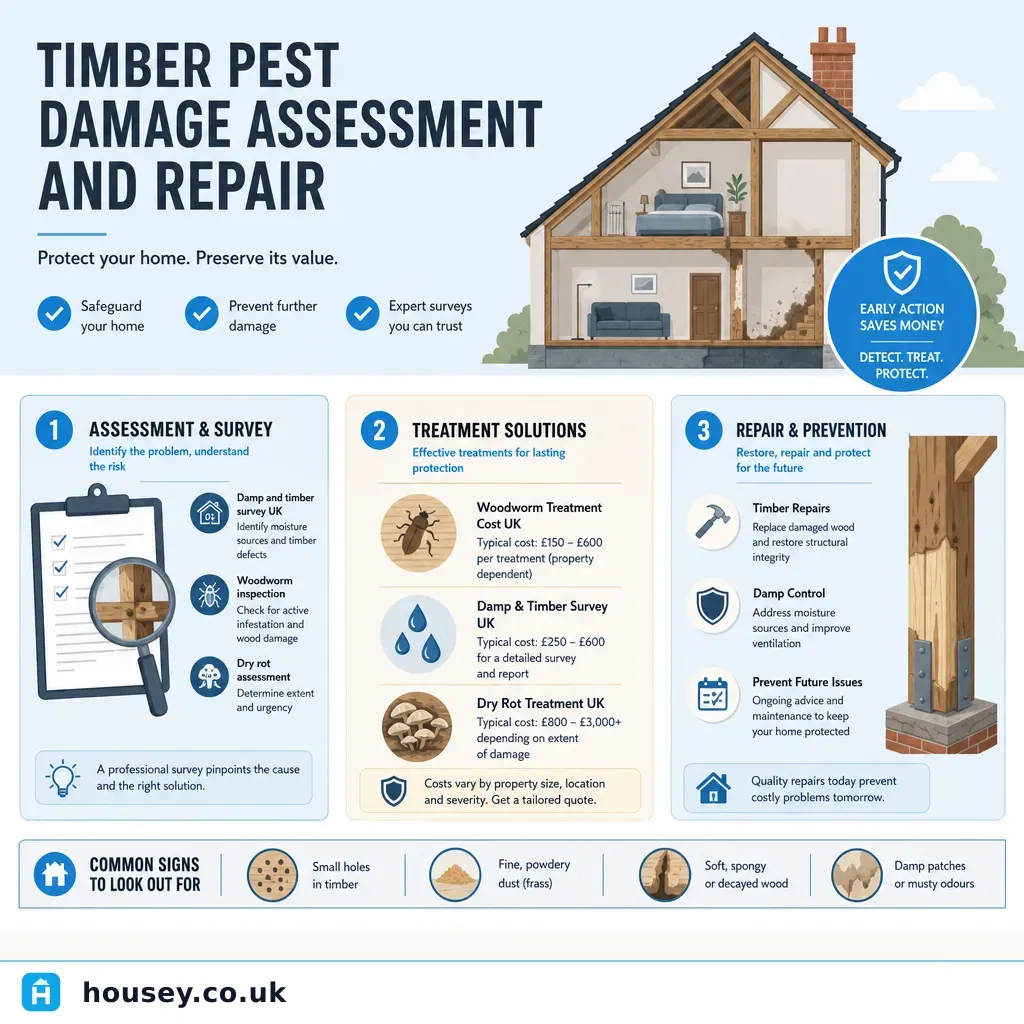
Timber Pest Damage Assessment and Repair
Timber pest damage in UK homes is most commonly caused by Common Furniture Beetle (woodworm), Death Watch Beetle, or fungal decay such as dry rot.