Land and Property Surveying Costs
By Housey · Last reviewed 7th of May 2026
Land and Property Surveying Costs
Land and property surveys arise at predictable moments: before applying for planning permission, when resolving a boundary dispute, when converting or extending a building, or when a developer needs accurate site levels before groundwork begins. The type of survey — and therefore the cost — depends almost entirely on what the output will be used for and the complexity of the site or structure involved.
Key points
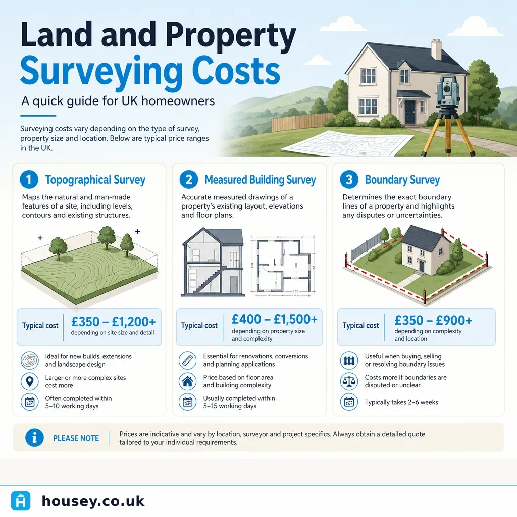
- Topographical surveys typically cost £500–£2,000 for a residential plot, rising to £4,000+ for larger or more complex sites (indicative UK costs, last reviewed 2026-05-07).
- Measured building surveys for a typical three-bedroom house usually fall in the £700–£2,500 range, depending on the level of detail required in the drawing package (indicative UK costs, last reviewed 2026-05-07).
- Boundary surveys carried out by a RICS-accredited expert typically start at £450–£600 for a straightforward assessment, rising significantly if a formal boundary determination report is required.
- Survey fees are not regulated; comparing at least three quotes from RICS-regulated firms is the most reliable way to test the market.
- Output format affects cost: a basic sketch plan costs less than a fully georeferenced CAD drawing delivered to Ordnance Survey National Grid datum.
What drives land and property surveying costs?
The single biggest variable is the scope of data the surveyor must collect and the format of the deliverable. A planner or architect asking for a georeferenced topographical survey in DWG format with 100mm contour intervals requires far more field time and processing than a simple sketch of boundary features.
Key cost drivers include:
- Site size and access: A 0.1-hectare urban garden takes less time than a 2-hectare paddock with uneven terrain or restricted access.
- Level of detail: The number of survey points, contour intervals, overhead features, and service locations all add time on site.
- Output format: CAD (DWG/DXF) files georeferenced to Ordnance Survey National Grid cost more to produce than PDF plans.
- Travel and daywork: Surveyors in rural areas or on difficult sites may charge travel time, day rates, or accommodation.
- Urgency: Rush jobs usually attract a premium.
- Report complexity: A measured building survey that includes roof plans, section drawings, and elevations costs more than floor plans alone.
Survey types and indicative UK costs
Survey type | Typical use | Indicative cost range | Who commissions it |
|---|---|---|---|
Topographical survey | Pre-planning, site layout, drainage design | £500–£4,000+ | Homeowner, developer, architect |
Measured building survey | Extension design, renovation, listed building work | £700–£2,500 | Homeowner, architect, heritage team |
Boundary survey (general) | Confirm legal boundary position, resolve neighbour dispute | £450–£2,000+ | Homeowner, solicitor |
Boundary determination report | Formal expert determination for dispute resolution | £1,500–£5,000+ | Solicitor, court instruction |
Setting-out survey | Mark site before groundworks or extension footings | £300–£800 | Builder, structural engineer |
Utilities/services location | Identify underground services before excavation | £400–£1,200 | Contractor, developer |
Indicative UK costs, last reviewed 2026-05-07. Actual costs vary by region, site complexity, and firm. Always obtain itemised quotes.
What is a topographical survey?
A topographical survey (sometimes called a topo survey or land survey) records the physical features of a site: ground levels, slopes, trees, structures, hedges, fences, drainage, and any above-ground utilities. The data is usually delivered as a georeferenced CAD file that an architect or engineer can import directly into their design software.
Most local planning authorities and architects will expect a topographical survey as the foundation for a planning application involving new buildings, extensions to uneven plots, or flood-risk areas. RICS recommends that topographical surveys are carried out by a chartered land surveyor.
For a standard domestic plot (typically 250–500 sq m), expect to pay £500–£1,200. Larger plots or those with significant level changes, water features, or mature tree positions will cost more — sometimes substantially so if a full tree survey under BS 5837 is required alongside the topo.
You can request quotes for a topographical survey from RICS-accredited surveyors in your area through Housey.
What is a measured building survey?
A measured building survey produces accurate as-built drawings of an existing structure: floor plans, elevations, sections, and sometimes roof plans. Architects and structural engineers use these as the starting point for renovation, conversion, or extension design. They are also required for listed building consent applications and Historic England submissions.
Costs rise with the number of rooms, the height of the building, and the drawing package required. A straightforward two-storey three-bedroom house in good condition with clear access can be measured in a day, while a complex listed farmhouse with outbuildings may take several days on site.
A measured building survey is different from a RICS HomeBuyer Report or Building Survey (Level 2/Level 3): those assess condition and defects, while a measured building survey records geometry for design purposes.
What is a boundary survey?
A boundary survey establishes the position and extent of a legal boundary relative to physical features on the ground. It is most often commissioned when:
- A neighbour dispute over a fence or wall position arises.
- A property is being subdivided or sold off in part.
- Title deeds do not clearly describe the boundary in modern terms.
- Planning permission is sought for development close to a shared boundary.
Boundary surveys are not the same as the title plan held at HM Land Registry. The Land Registry's general boundaries rule means its plans are indicative, not precise. A RICS-accredited boundary surveyor compares the legal title documents, historical maps, and physical evidence on the ground to produce a professional opinion.
Simple boundary advice costs less than a formal expert determination report, which may be required if the dispute proceeds to the First-tier Tribunal (Property Chamber) or county court. If that is your situation, a boundary surveyor with dispute resolution experience is essential.
Which survey do you need?
- Choose a topographical survey if you are applying for planning permission, need site levels for drainage design, or are briefing an architect for a new build or significant extension.
- Choose a measured building survey if you are designing a renovation or conversion, need as-built drawings for building control, or have a listed building that requires accurate geometric records.
- Choose a boundary survey if you are in a neighbour dispute, subdividing land, or need clarity on a boundary position that title documents do not resolve.
- Instruct a specialist with expert witness experience if the boundary is subject to adverse possession claims or the matter may go to tribunal — this is legal territory as much as survey territory.
- Check with your local planning authority if you are unsure whether a survey is required as a planning condition or reserved matter.
Homeowner checklist: before commissioning a survey
What to ask before accepting a quote
- What is included and excluded from the scope?
- Who will carry out the fieldwork, and what are their qualifications?
- What CAD software and datum (e.g., Ordnance Survey National Grid) will be used?
- Is VAT included in the quoted price?
- What happens if site conditions make access difficult on the day?
- Will I own the CAD files outright, or is their use licensed?
- What could change the price or timeline after instruction?
When to get professional help
For straightforward topographical or measured building surveys, any RICS-regulated firm should suffice. For boundary disputes, the stakes are higher: an ambiguous or poorly structured report can make a legal dispute more expensive rather than resolving it. If the matter is likely to proceed to the First-tier Tribunal (Property Chamber) or county court, instruct a RICS-accredited expert witness with specific boundary dispute experience.
Signs you need specialist input:
- The neighbour dispute has already involved solicitors' letters.
- Proposed works would remove or significantly alter a shared boundary feature.
- The property has been subject to adverse possession claims.
- Title deeds are historical, poorly reproduced, or inconsistent with current Ordnance Survey mapping.
How Housey can help
Housey connects homeowners, architects, and developers with RICS-accredited surveyors across the UK. Whether you need a topographical survey before a planning application, a measured building survey as the basis for an architect's drawings, or a boundary surveyor to resolve a neighbour dispute, you can request and compare quotes from qualified providers in one place.
Frequently asked questions
What is the difference between a land survey and a property survey?
In UK practice, a land survey usually refers to measurement of the external site — levels, boundaries, and features — delivered as a topographical or boundary survey. A property survey more often means a condition-based inspection such as a RICS Level 2 or Level 3 report. The terms overlap informally; always confirm the deliverable you need before requesting quotes.
Do I need a topographical survey before applying for planning permission?
Most local planning authorities require a topographical survey as part of a planning application for new buildings, extensions on sloping ground, or sites in flood-risk areas. Your architect or planning consultant will confirm the local requirement. Submitting inaccurate levels can result in a planning refusal or costly conditions to discharge later.
How long does a measured building survey take?
A typical three to four bedroom house can usually be measured in one day. Larger properties, listed buildings, or those with complex rooflines may need two or more days. Processing and drawing production typically adds five to ten working days, though urgent turnarounds are often available at extra cost.
Can I use one survey for both planning and building control purposes?
A topographical survey can support both your planning application and building control submission, provided it meets the accuracy requirements for both. A measured building survey may need updating after structural changes, so the version submitted to building control could differ from the planning version. Confirm the specification with your architect or building control body.
When do I need a boundary surveyor rather than a general land surveyor?
If a boundary position is contested between neighbours, legal title documents are unclear, or the matter may proceed to the First-tier Tribunal (Property Chamber), you need a surveyor with specific boundary dispute expertise. RICS-accredited boundary surveyors can produce expert determination reports that meet tribunal and court requirements — a general land surveyor may not have this specialism.
Sources and further reading
Useful next reads
 Surveys & Inspections
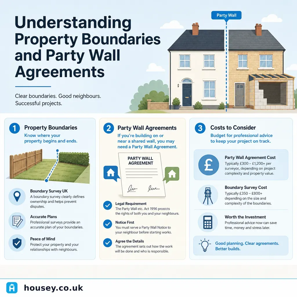
Understanding Property Boundaries and Party Wall Agreements
Property boundaries define the legal extent of your land; the Party Wall etc.
 Surveys & Inspections
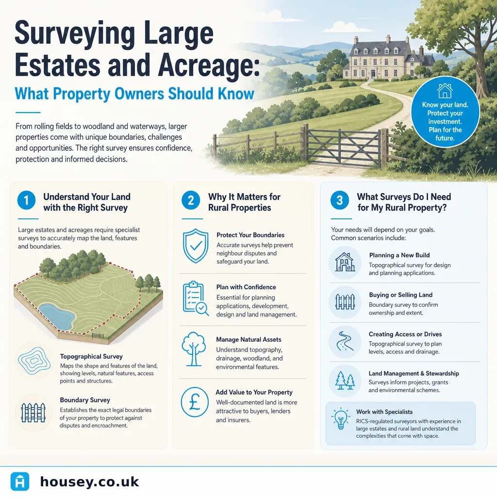
Surveying Large Estates and Acreage: What Property Owners Should Know
Large estates and acreage typically require a combination of surveys: a topographical survey to map contours and features, a boundary survey to confirm legal extents, and often an ecological or environmental assessment.
 Surveys & Inspections
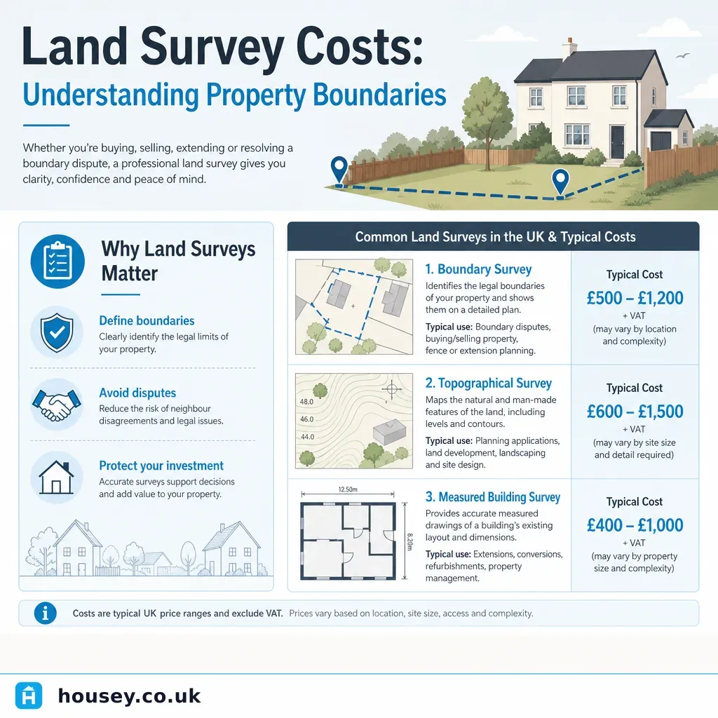
Land Survey Costs: Understanding Property Boundaries
Land survey costs in the UK depend on the type of survey needed: boundary surveys typically cost £500–£2,000, topographical surveys £600–£2,500, and measured building surveys £800–£3,000 for a standard house.
 Surveys & Inspections
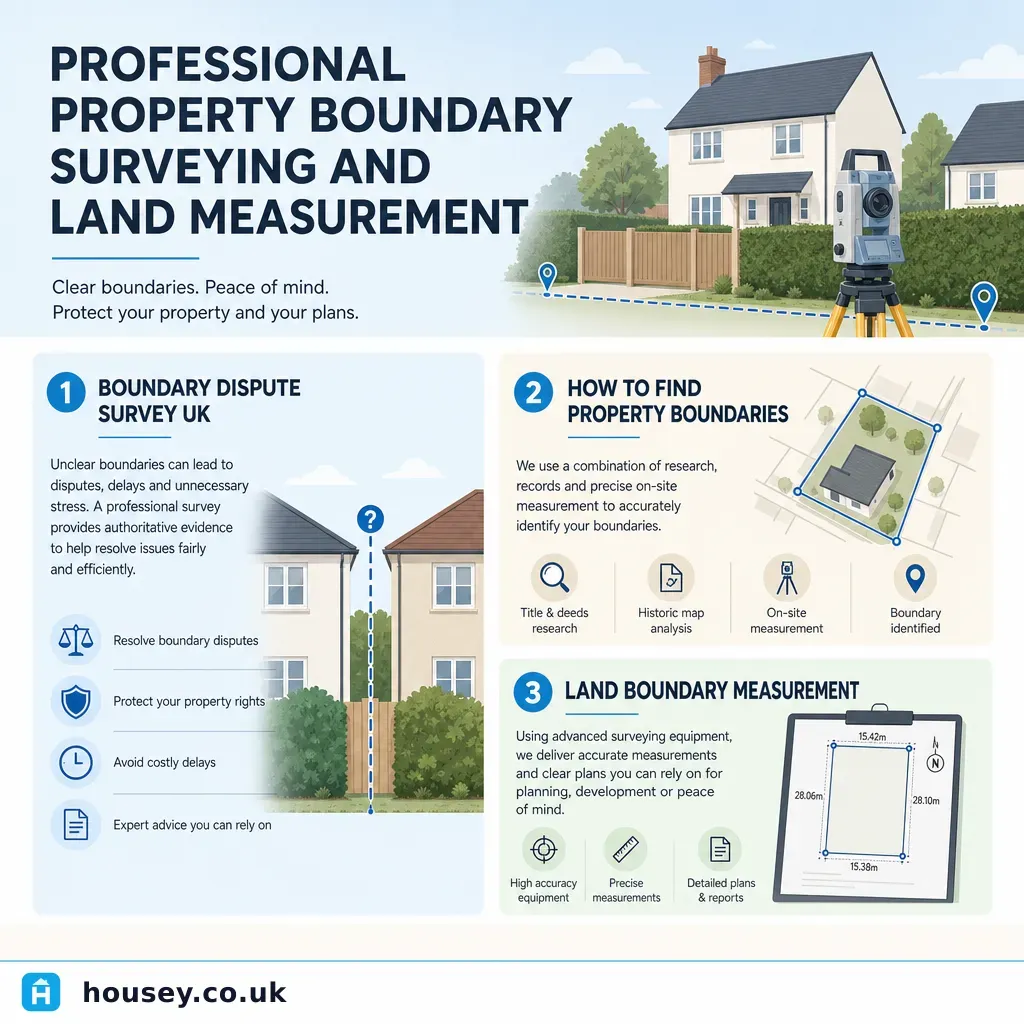
Professional Property Boundary Surveying and Land Measurement
A property boundary survey precisely establishes the legal extent of your land using title deeds, Ordnance Survey data, and physical evidence.
 Surveys & Inspections
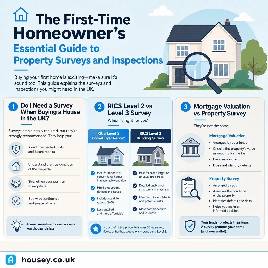
The First-Time Homeowner's Essential Guide to Property Surveys and Inspections
First-time buyers in the UK need more than the mortgage valuation — that report protects the lender, not you.