Surveying Large Estates and Acreage: What Property Owners Should Know
By Housey · Last reviewed 7th of May 2026
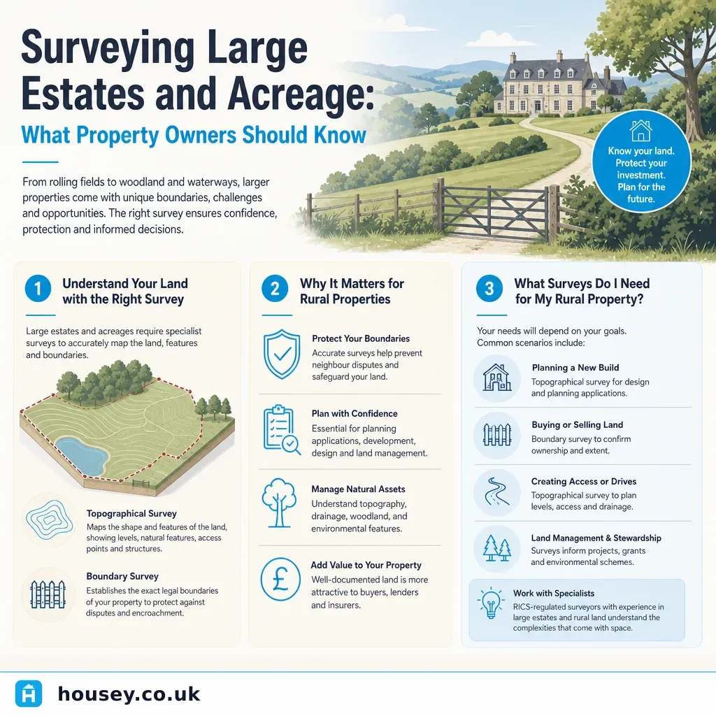
Surveying Large Estates and Acreage: What Property Owners Should Know
Large rural estates, farms, and substantial plots present a different set of surveying challenges to the mainstream residential property market. Whether you are purchasing, selling, refinancing, managing an inheritance, or planning development on land spanning several acres, the surveying requirements extend well beyond a standard home survey. Boundaries may be poorly defined in old title registers, the land itself may carry ecological or environmental designations, and the interaction between different survey disciplines can determine whether a transaction completes cleanly or evolves into a costly, time-consuming dispute.
Key points
- HM Land Registry title registers for rural land frequently rely on Ordnance Survey base mapping at 1:2500 scale, which has a positional accuracy of approximately ±2.5 metres — adequate for most conveyancing, but insufficient for boundary disputes or detailed development applications.
- Topographical surveys using GPS and total station equipment typically require one to five days of site work for estates between 5 and 100 acres, producing a georeferenced CAD drawing accurate to ±10–50mm depending on specification.
- Phase 1 Habitat Surveys following the BS 42020:2013 methodology are required as part of most planning applications affecting 0.5 hectares or more of undeveloped land, and are standard due diligence for rural transactions near designated sites.
- Boundary disputes in England and Wales are governed by common law principles; contested cases that proceed to the First-tier Tribunal (Property Chamber) can take 6–18 months and incur substantial legal costs even before the surveying evidence is prepared.
- Under the Party Wall etc. Act 1996, any excavation within 3–6 metres of a neighbouring boundary (the distance depends on excavation depth) requires formal notification to the adjoining owner, regardless of how large or remote the estate.
What types of survey does a large estate typically need?
Rarely does a single survey type cover everything a large estate requires. The appropriate combination depends on the estate's current use, condition, and your intentions as owner.
Survey type | Best for | Not ideal for | Typical output | Who carries it out |
|---|---|---|---|---|
Topographical survey | Development planning, drainage design, land management, accurate contour mapping | Simple title checks with no development intent | Georeferenced CAD file, contour plan | Land surveyor (RICS geospatial faculty or Chartered Institution of Civil Engineering Surveyors) |
Boundary survey | Resolving or pre-empting disputes, confirming legal extents before sale or development | Large-scale contour or ecological work | Determined boundary plan, expert opinion report | RICS-accredited boundary surveyor |
RICS Level 3 Building Survey | Large historic houses, farmhouses, barns, coach houses | Open land, drainage systems, ecology | Detailed condition report with defect schedule | RICS chartered building surveyor |
Measured building survey | Renovation, conversion, listed building consent applications | Undeveloped land, boundary confirmation | Accurate floor plans, elevations, sections in CAD | Architectural surveyor or architectural technologist |
Phase 1 Habitat Survey | Planning applications, ecological due diligence, SSSI proximity | General structural condition | Preliminary ecological appraisal report | Registered ecologist (CIEEM member) |
Environmental / contamination survey | Former agricultural or industrial land, fuel storage areas | Pristine undeveloped land with no prior use | Phase 1 desk study and/or Phase 2 intrusive investigation | Environmental consultant (IEMA or equivalent) |
Which professional do I need?
Different professionals hold overlapping but distinct competencies. For large estates, more than one specialist is usually required.
Professional | Regulated by | What they can — and cannot — do |
|---|---|---|
RICS chartered surveyor (building) | RICS | Surveys structures, produces valuations and RICS Level 3 reports; does NOT typically carry out GPS-based topographic land surveys |
Geospatial / land surveyor | RICS (geospatial faculty) or CICES | GPS and total station topographic surveys, setting out for construction; does NOT assess structural condition or interpret legal boundaries |
RICS boundary surveyor | RICS | Interprets title deeds, historical maps, and physical evidence to determine or dispute boundaries; does NOT design drainage or produce ecological reports |
Registered ecologist | CIEEM (Chartered Institute of Ecology and Environmental Management) | Phase 1 and Phase 2 habitat surveys, protected species assessments; does NOT carry out structural or land surveys |
Environmental consultant | IEMA or equivalent | Phase 1/2 contamination desk studies and intrusive investigation; does NOT survey structures or determine legal boundaries |
Decision tree: which surveys does your estate need?
- Buying a rural estate with existing buildings: Commission a RICS Level 3 Building Survey for all habitable structures; a topographical survey if development or drainage works are planned; and a boundary survey if the title plans appear imprecise or a neighbouring boundary is contested.
- Selling land with development potential: A topographical survey supports planning applications and helps buyers' solicitors. A Phase 1 Habitat Survey demonstrates ecological due diligence and can reduce pre-exchange delays caused by buyer enquiries.
- Inherited land with unclear or disputed boundaries: Commission a boundary survey before engaging solicitors on a title rectification application — without surveying evidence, legal costs increase substantially and the strength of your position is harder to establish.
- Planning a new access road, lake, drainage scheme, or rural building: A topographical survey is essential for design; an ecological assessment is usually required as part of the planning application for anything affecting 0.5+ hectares of undeveloped land.
- Refinancing or mortgaging the estate: A formal RICS Red Book valuation is required by most lenders; they may additionally require environmental searches if the land has agricultural or industrial history.
- Ask a specialist rural surveyor or land agent if you are uncertain — attempting to cut costs by combining inadequate surveys is a common and expensive mistake on large estates where problems discovered late can unravel transactions.
Costs and timescales
These figures are indicative only; actual costs depend heavily on plot size, terrain, access, location, title complexity, and turnaround requirements. Indicative UK costs, last reviewed 2026-05-07.
- Topographical survey: £1,500–£10,000+ for estates of 5–50 acres, depending on complexity and required accuracy. Allow two to four weeks from instruction to final CAD deliverable in most cases.
- Boundary survey: £500–£3,500+ for a single boundary determination; more if historical research, expert witness preparation, or Tribunal proceedings are required.
- RICS Level 3 Building Survey (farmhouse or large historic building): £1,000–£3,500+, depending on floor area, age, and condition.
- Phase 1 Habitat Survey: £600–£2,000 for a typical rural estate; Phase 2 species-specific surveys (if protected species are indicated) can add considerably to this figure and may require seasonal timing constraints.
- Environmental Phase 1 desk study: £500–£2,000; a full Phase 2 intrusive ground investigation is substantially more depending on the extent of potential contamination.
Always obtain at least three written quotes and confirm precisely what is included in the scope, what exclusions apply, and what format the deliverables will take.
Red flags on large estates
These warning signs should prompt specialist professional investigation before you proceed with a transaction, planning application, or works programme:
- Boundaries shown with dotted or dashed lines on the Land Registry title plan — these indicate general boundaries only, not legally determined lines.
- Historical aerial photographs or Ordnance Survey maps that conflict with the current registered title extent.
- Former agricultural buildings converted or extended without planning consent — these carry an enforcement risk that can, in some circumstances, survive a change of ownership.
- Evidence of fuel storage tanks, slurry lagoons, sheep dip areas, or former horticultural use on land earmarked for residential or commercial development — these may indicate soil or groundwater contamination requiring investigation.
- Proximity to a Site of Special Scientific Interest (SSSI) — consult Natural England, NatureScot, or Natural Resources Wales before any vegetation clearance or groundworks.
- Estate tracks or roads used by neighbouring landowners — check title registers for rights of way, easements, or access rights that may complicate ownership or development.
Important limitations
This article provides general information about surveying large estates and rural land in the UK. The regulatory position, survey requirements, planning designations, and professional standards described may vary depending on the property's location (England, Scotland, Wales, or Northern Ireland), its planning history, agricultural or ecological designations, environmental sensitivity, and the specific terms of its title. Nothing in this article constitutes legal, planning, or surveying advice. You should instruct appropriately qualified professionals before making any decisions about surveying, development, boundary disputes, or land transactions.
What to ask a qualified professional
Before instructing any surveyor or consultant for large estate work, ask:
- What qualifications and professional indemnity insurance do you hold, and are you currently registered with your professional body (RICS, CIEEM, IEMA, or equivalent)?
- What is included in your scope of works, and what exclusions or assumptions apply?
- What deliverable format will I receive — georeferenced CAD file, written expert report, PDF plan — and what software is required to open or use it?
- Will you carry out the work personally, or will any element be subcontracted? If subcontracted, who holds responsibility for quality and accuracy?
- Are there any access, seasonal, weather, or ecological constraints that could affect the survey timeline or scope?
- For how long will the survey data remain current for planning, legal, or lending purposes?
- Have you worked on estates of a similar size, tenure, and location to this one?
When to get professional help
For most large estate transactions, the question is not whether to commission surveys but which combination is appropriate. Seek professional advice promptly if:
- The title register references boundaries that cannot be physically identified on the ground.
- A neighbouring landowner has raised a boundary dispute, whether verbally or in writing.
- You discover former agricultural chemicals, fuel storage, or industrial activity on land earmarked for residential or commercial development.
- A planning application has been refused or challenged on ecological or environmental grounds.
- The estate includes listed buildings, scheduled ancient monuments, land within a National Park, or an Area of Outstanding Natural Beauty.
- You are considering development and the ecological or environmental status of the land is unclear.
How Housey can help
Housey can connect you with qualified professionals for the full range of large estate surveys. If you need accurate land mapping for planning or design purposes, start with a topographical survey. To confirm legal land extents before a transaction or in anticipation of a dispute, a boundary surveyor can assess the evidence and produce a formal opinion. Where the estate includes significant buildings requiring accurate plans for renovation, conversion, or a planning application, a measured building survey provides the CAD deliverables architects and planning authorities expect. For ecological and contamination due diligence, environmental surveys are available through Housey's network of registered specialists.
Frequently asked questions
Do I need a survey before selling rural land or a large estate?
You are not legally required to commission a survey before selling, but providing a topographical survey and up-to-date boundary information can speed up the buyer's due diligence, reduce pre-exchange delays, and support your asking price. Some vendors commission a boundary survey specifically to pre-empt disputes and avoid renegotiation after the buyer's solicitor raises title queries.
What is the difference between a topographical survey and a boundary survey?
A topographical survey maps the physical features, contours, and dimensions of the land and is used for design, drainage, and planning purposes. A boundary survey interprets legal documents — title deeds, historical Ordnance Survey maps, and physical evidence — to determine where one ownership ends and another begins. Both may be needed for a large estate transaction or development application, and they are carried out by different specialists.
What does 'general boundaries' mean on a Land Registry title plan?
Under English and Welsh land law, HM Land Registry registers the general position of a boundary, not its precise legal line. The title plan — typically based on Ordnance Survey mapping at 1:2500 scale — is indicative only and does not definitively determine exactly where a boundary runs. A boundary surveyor can produce a determined boundary opinion based on all available documentary and physical evidence.
Do I need ecological surveys before selling land with development potential?
Not as a legal requirement before marketing, but a Phase 1 Habitat Survey (and any Phase 2 species surveys indicated by it) can significantly reduce delays for buyers who intend to develop. If the land is near a Site of Special Scientific Interest or contains habitats that may support protected species, early ecological assessment also reduces legal risk for the current owner and signals a professionally managed sale.
How long does a topographical survey take for a large estate?
Site work for a 10–50 acre estate typically takes one to three days, depending on terrain, accessibility, and the level of detail required. Processing and producing the final georeferenced CAD deliverable usually adds one to two weeks. Estates with dense vegetation, water features, steep topography, or limited vehicular access take longer, and this should be discussed with the surveyor at the quotation stage.
Sources and further reading
- How boundaries are registered — HM Land Registry / GOV.UK
- RICS boundaries practice information — RICS
- Sites of Special Scientific Interest: overview — Natural England / GOV.UK
- Party Wall etc. Act 1996 — legislation.gov.uk
- First-tier Tribunal (Property Chamber): land registration applications — GOV.UK
- BS 42020:2013 Biodiversity — Ecosystem services and ecological surveying — BSI Group
Useful next reads
 Surveys & Inspections
Understanding Property Boundaries and Party Wall Agreements
Property boundaries define the legal extent of your land; the Party Wall etc.
 Surveys & Inspections
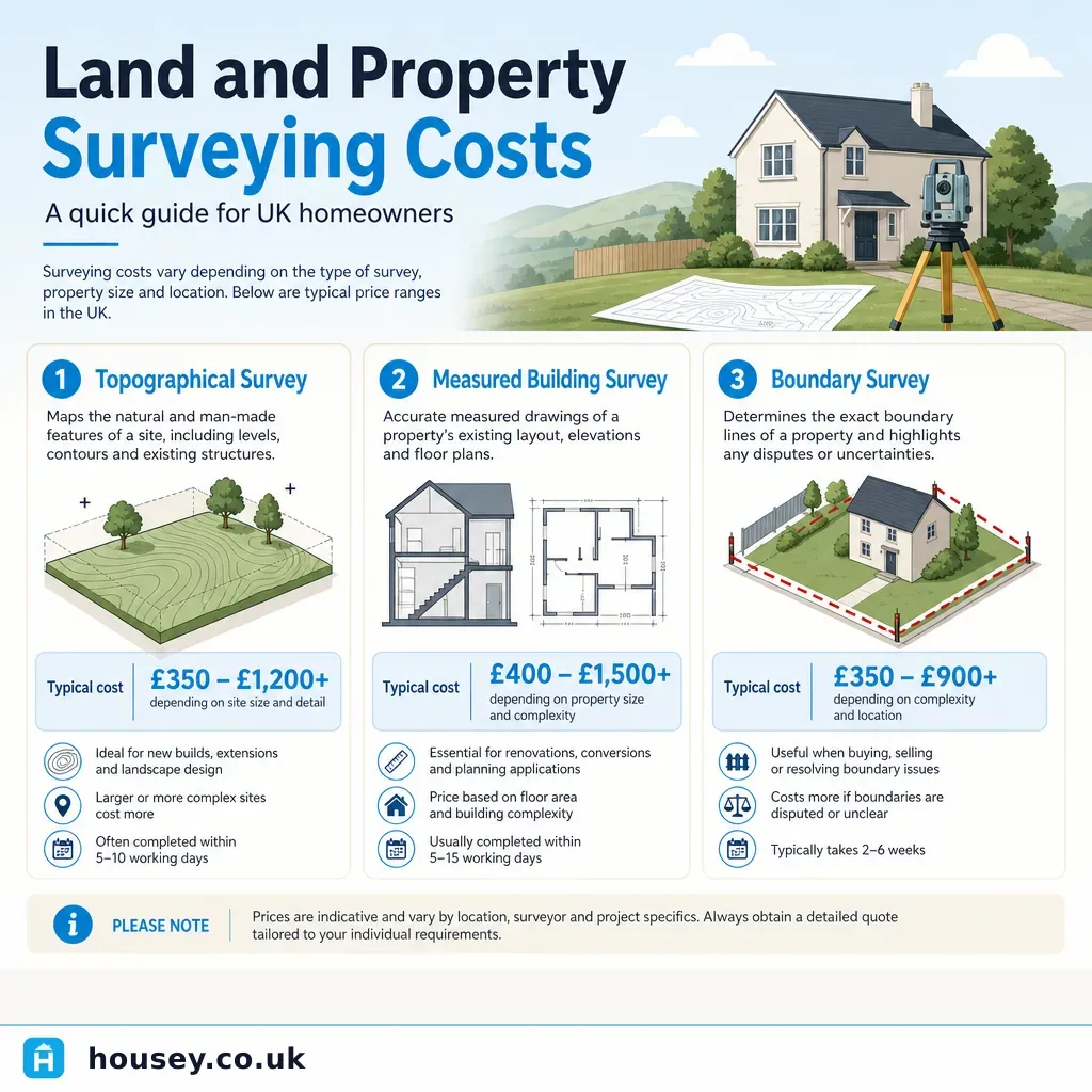
Land and Property Surveying Costs
Land survey costs in the UK typically range from around £400 for a simple boundary check to £3,000 or more for a detailed topographical or measured building survey of a large site.
 Surveys & Inspections
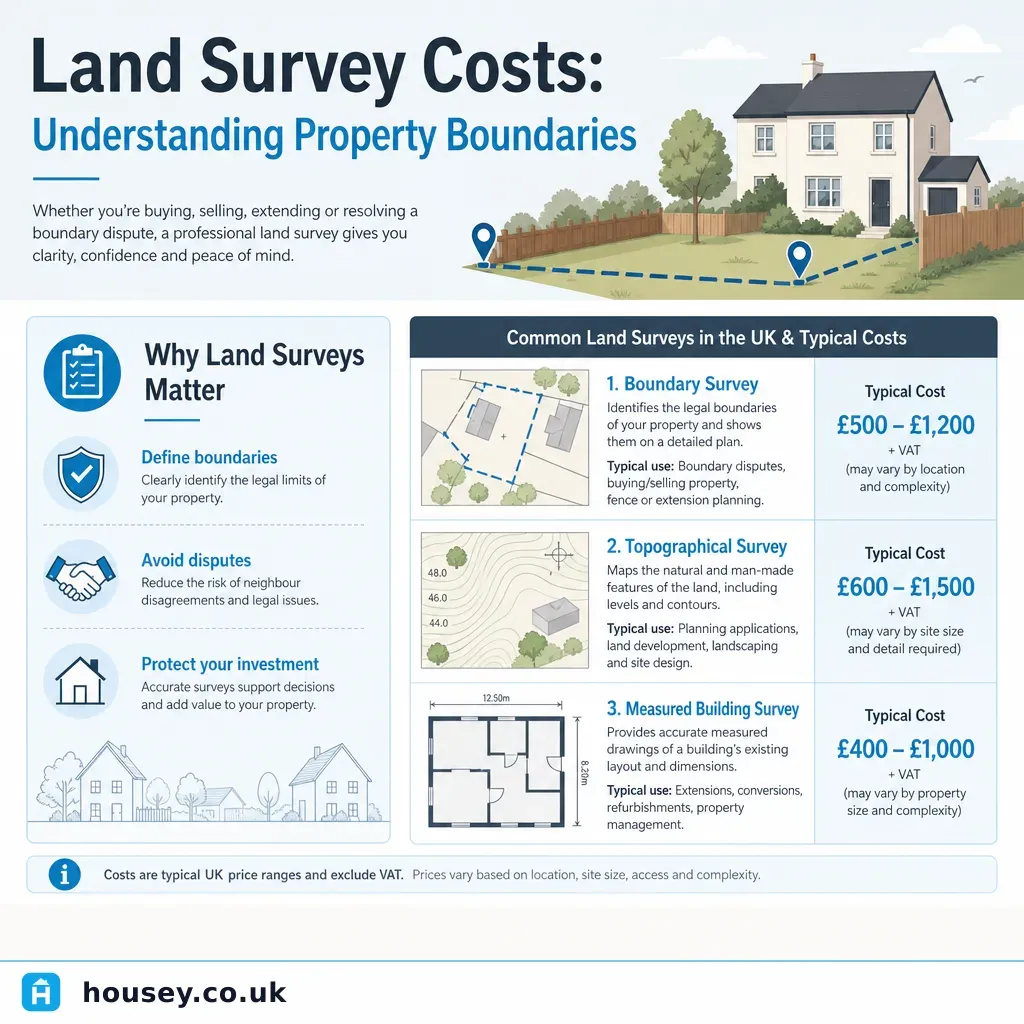
Land Survey Costs: Understanding Property Boundaries
Land survey costs in the UK depend on the type of survey needed: boundary surveys typically cost £500–£2,000, topographical surveys £600–£2,500, and measured building surveys £800–£3,000 for a standard house.
 Surveys & Inspections
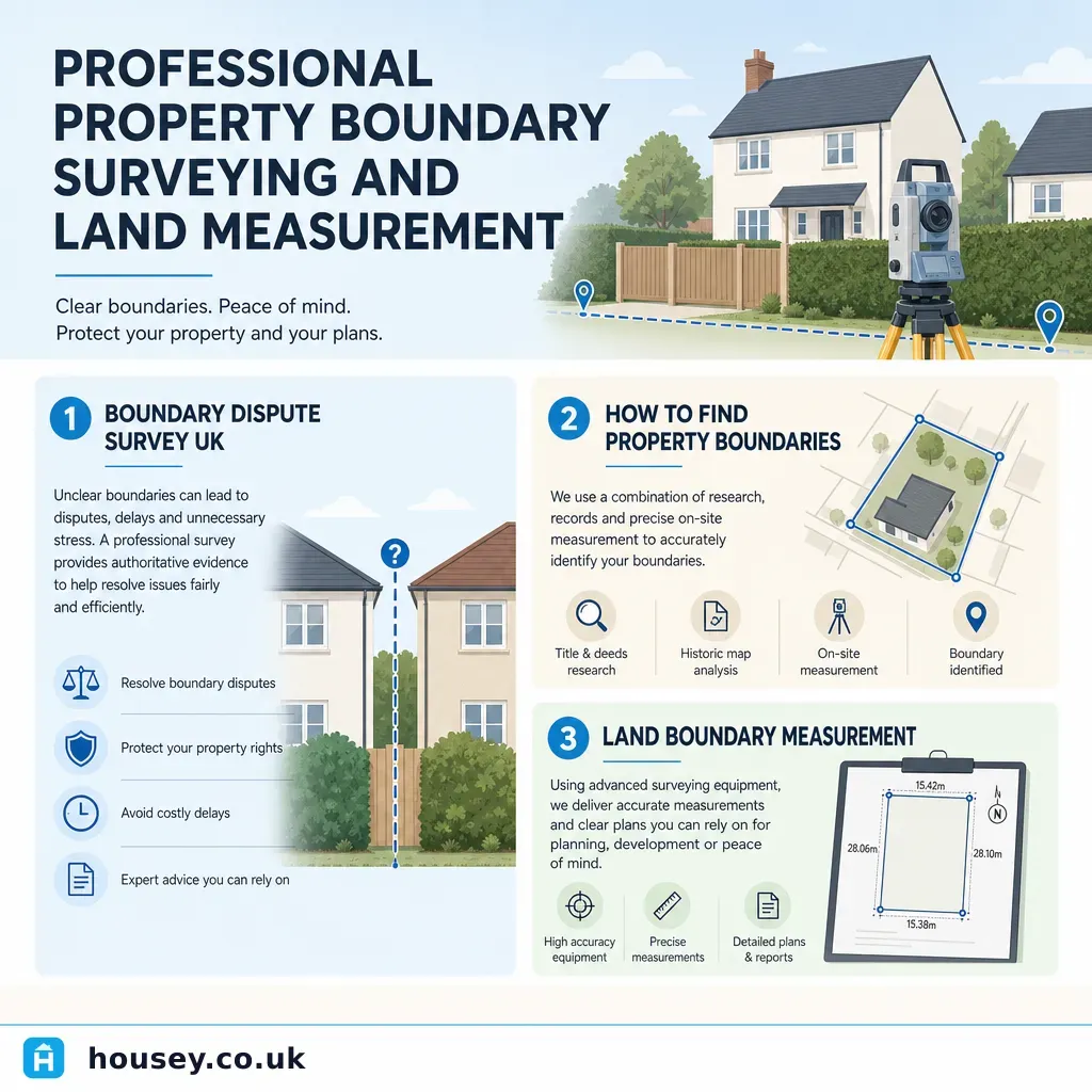
Professional Property Boundary Surveying and Land Measurement
A property boundary survey precisely establishes the legal extent of your land using title deeds, Ordnance Survey data, and physical evidence.
 Surveys & Inspections
Party Wall Surveyor Fees and Professional Costs
A party wall surveyor typically charges £700–£1,500 for a straightforward agreed appointment in the UK.