The Critical Role of Land Surveys in Property Purchases
By Housey · Last reviewed 11th of May 2026

The Critical Role of Land Surveys in Property Purchases
Buying a property in England and Wales involves multiple layers of due diligence, yet one of the most consequential is frequently overlooked: a dedicated land survey. Unlike a RICS home survey, which focuses on the physical condition of a building, a land survey examines the extent, boundaries, and physical characteristics of the land itself. Boundary disputes are among the most costly and protracted legal conflicts a homeowner can face — and many begin with assumptions that were never verified at the point of purchase.
Key points
- HM Land Registry title plans are drawn at scales of 1:1250 or 1:2500 and are not intended to define precise boundary positions — they indicate the general extent of a registered title only, under the general boundary rule.
- The Party Wall etc. Act 1996 and boundary law are separate legal regimes; a land survey establishes the physical position of a boundary on the ground, which is distinct from the legal title position defined by conveyancing documents.
- A topographical survey produces a scaled, measured drawing of land features, levels, and boundaries — typically required by local planning authorities for planning applications and by architects designing extensions.
- Boundary surveys by a chartered surveyor or specialist can produce formal expert reports usable in dispute resolution, Land Registration Tribunal proceedings, or court.
- In Scotland, the Land Register of Scotland operates under Scots law, which differs materially from English and Welsh land registration; this article focuses on England and Wales.
What a land survey is — and what it is not
The term "land survey" covers several distinct professional services. In the context of a property purchase, the most relevant are:
Boundary survey: establishes the position of the legal boundary on the ground by combining title deeds, Land Registry data, historic Ordnance Survey mapping, physical evidence such as walls, fences, hedges, and ditches, and professional judgement. Carried out by a chartered surveyor or specialist boundary expert.
Topographical survey: measures and maps the land's levels, contours, drainage features, vegetation, structures, and boundaries to produce a scaled drawing, typically in CAD format. Essential for planning applications, extension design, or assessing development potential.
Measured building survey: records the internal and external dimensions of existing structures in detail. Often commissioned alongside a topographical survey when both land and building data are required by a planning authority or architect.
A RICS Level 2 or Level 3 home survey does not substitute for any of these services. A conveyancing solicitor examines the legal title but does not physically measure or map the land. Neither service will reveal whether a fence, wall, or structure is actually in the position the title documents suggest.
When does a land survey matter most?
Not every purchase requires a dedicated land survey. The need rises significantly in these circumstances:
Situation | Survey type likely needed | Why |
|---|---|---|
Irregular or large plot | Topographical + boundary | To confirm actual extent and physical features |
Boundary runs adjacent to a fence, wall, hedge, or ditch | Boundary survey | Physical features often differ from the title plan |
Property with development potential (garden subdivision, outbuilding) | Topographical | Required for planning applications |
Extension or new structure already planned | Topographical | Most local authorities require it with planning submissions |
Vendor or solicitor mentions a historic or ongoing boundary dispute | Boundary survey | Unresolved disputes transfer to the buyer |
Rural property with multiple parcels, tracks, or areas of amenity land | Boundary + topographical | Multiple title ambiguities are common |
Property with access rights or easements over third-party land | Boundary survey | To confirm the physical route and usable width |
Leasehold flat with allocated outdoor space or parking | Boundary or measured | To confirm the demised area matches the lease plan |
Which professional do I need?
Professional | Role | Regulated by | When to instruct |
|---|---|---|---|
Chartered surveyor (boundary specialist) | Determines legal boundary position; prepares expert reports | RICS | Disputed or uncertain boundaries |
Topographical surveyor | Measures and maps land, levels, features, and structures | RICS / CICES | Planning applications, extensions, drainage design |
Measured building surveyor | Records building dimensions and configuration accurately | RICS / CIAT | Confirming gross internal area, planning, refurbishment |
Conveyancing solicitor | Examines title, searches, and easements in legal documentation | SRA / Law Society | Every purchase — does not replace a physical land survey |
RICS home surveyor (Level 2 or Level 3) | Structural and condition inspection of the building | RICS | Every purchase — does not address boundary position |
Homeowner checklist: land survey due diligence before exchange
Important limitations
This article is general information only. Boundary law in England and Wales is complex, fact-specific, and dependent on the particular conveyancing history of each property. The legal position of a boundary is determined by title deeds, physical evidence, and — where disputed — by expert determination or the Land Registration division of the First-tier Tribunal. Rules differ materially in Scotland (Scots property law) and Northern Ireland. Nothing in this article constitutes legal advice. Instruct a qualified solicitor and, where appropriate, a RICS-regulated surveyor or specialist boundary expert for advice specific to your property.
What to ask a qualified professional
- Is the registered title boundary likely to correspond with the physical features — walls, fences, hedges — I can see on the ground?
- Has any boundary dispute, complaint, or restriction notice ever been registered against this title at HM Land Registry?
- Are there any easements, rights of way, or restrictive covenants that could limit how I use or develop the land?
- Would a topographical survey be required for a planning application on this property, and in what format and scale does the local planning authority expect it?
- What professional indemnity insurance do you carry for boundary determinations or topographical surveys?
- What deliverables will I receive — CAD files, georeferenced data, PDF drawings — and in what format and at what scale?
When to get professional help
Instruct a professional land surveyor before exchange of contracts if: any boundary uncertainty exists; the vendor has disclosed or hinted at a past or current dispute; you plan to extend, develop, or subdivide the land; the property includes agricultural land, woodland, shared access tracks, or multiple registered titles; or your solicitor flags any ambiguity in the title register. After exchange, your practical leverage to renegotiate or withdraw on boundary grounds diminishes significantly. Do not assume a standard home survey or conveyancing search covers boundary or topographical matters — they do not.
How Housey can help
Whether you need a boundary survey to resolve a boundary query before exchange, a topographical survey to support a planning application or extension design, a measured building survey to record the existing structure accurately, or a RICS Home Survey to assess building condition, Housey connects you with qualified, regulated professionals across the UK.
Frequently asked questions
Does a conveyancing solicitor check the boundary?
Your solicitor examines the legal title — deeds, title register, and Land Registry title plan — but does not physically measure or inspect the land. Solicitors will flag ambiguity in documents but cannot determine whether a physical boundary feature is in the legally correct position. A physical land survey is required for that.
Are Land Registry title plans legally binding on boundary positions?
No. HM Land Registry title plans operate under the general boundary rule: they show the general extent of a registered title, not the precise legal boundary position. The legal boundary is determined by the original conveyancing documents, physical evidence, and — where disputed — by expert determination or the First-tier Tribunal (Property Chamber).
How much does a topographical survey cost in the UK?
For a typical residential plot of up to 0.5 acres, topographical surveys generally cost £500–£1,500, depending on site complexity, access, and the format required. Indicative UK costs, last reviewed 2026-05-11. Obtain at least three quotes and confirm the format and scale your local planning authority requires before commissioning.
What is the difference between a boundary survey and a title search?
A title search (carried out by your solicitor) examines Land Registry and local authority records to establish legal ownership and encumbrances. A boundary survey physically measures and maps the position of the boundary on the ground. Both may be needed where genuine uncertainty exists; neither alone is sufficient in that situation.
Sources and further reading
- HM Land Registry — boundary information — HM Land Registry
- Practice guide 40: boundary disputes — HM Land Registry
- RICS guidance note: boundaries — RICS
- TA6 Property Information Form guidance — Law Society
- Planning Portal — making a planning application — Planning Portal
Useful next reads
 Surveys & Inspections
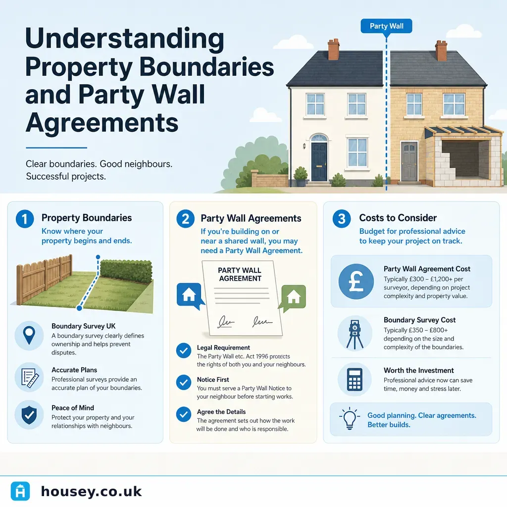
Understanding Property Boundaries and Party Wall Agreements
Property boundaries define the legal extent of your land; the Party Wall etc.
 Surveys & Inspections
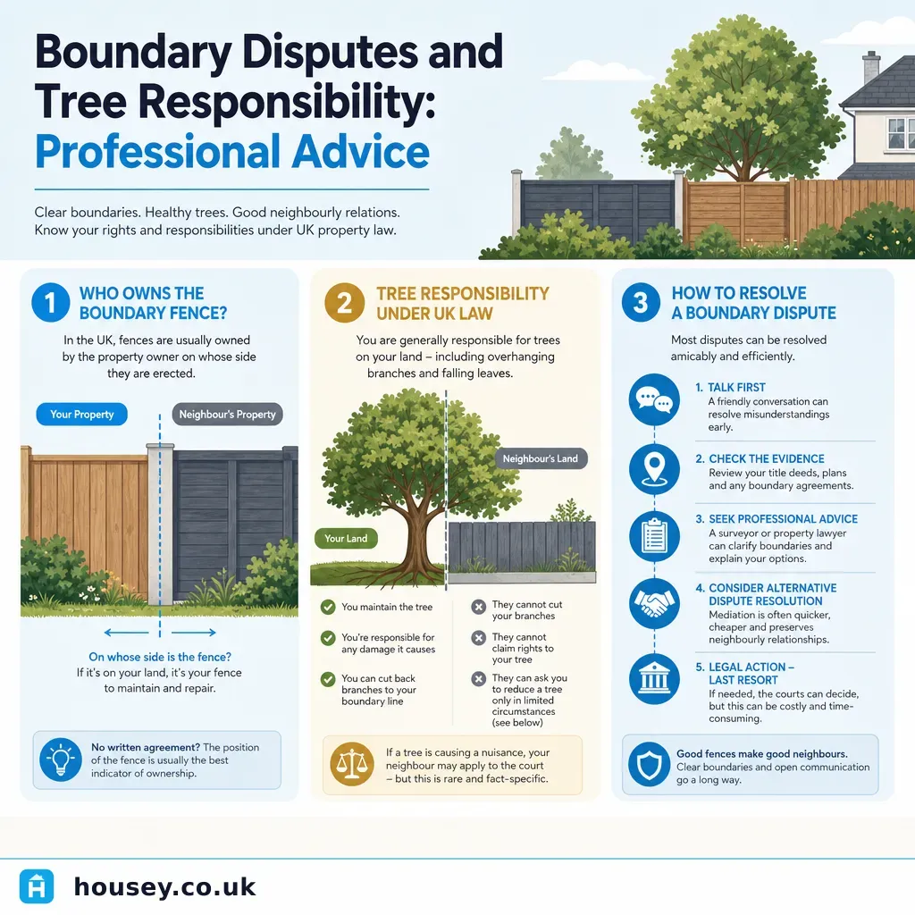
Boundary Disputes and Tree Responsibility: Professional Advice
Boundary disputes in the UK are typically resolved by instructing a RICS-accredited boundary surveyor to prepare a measured survey and expert report.
 Surveys & Inspections
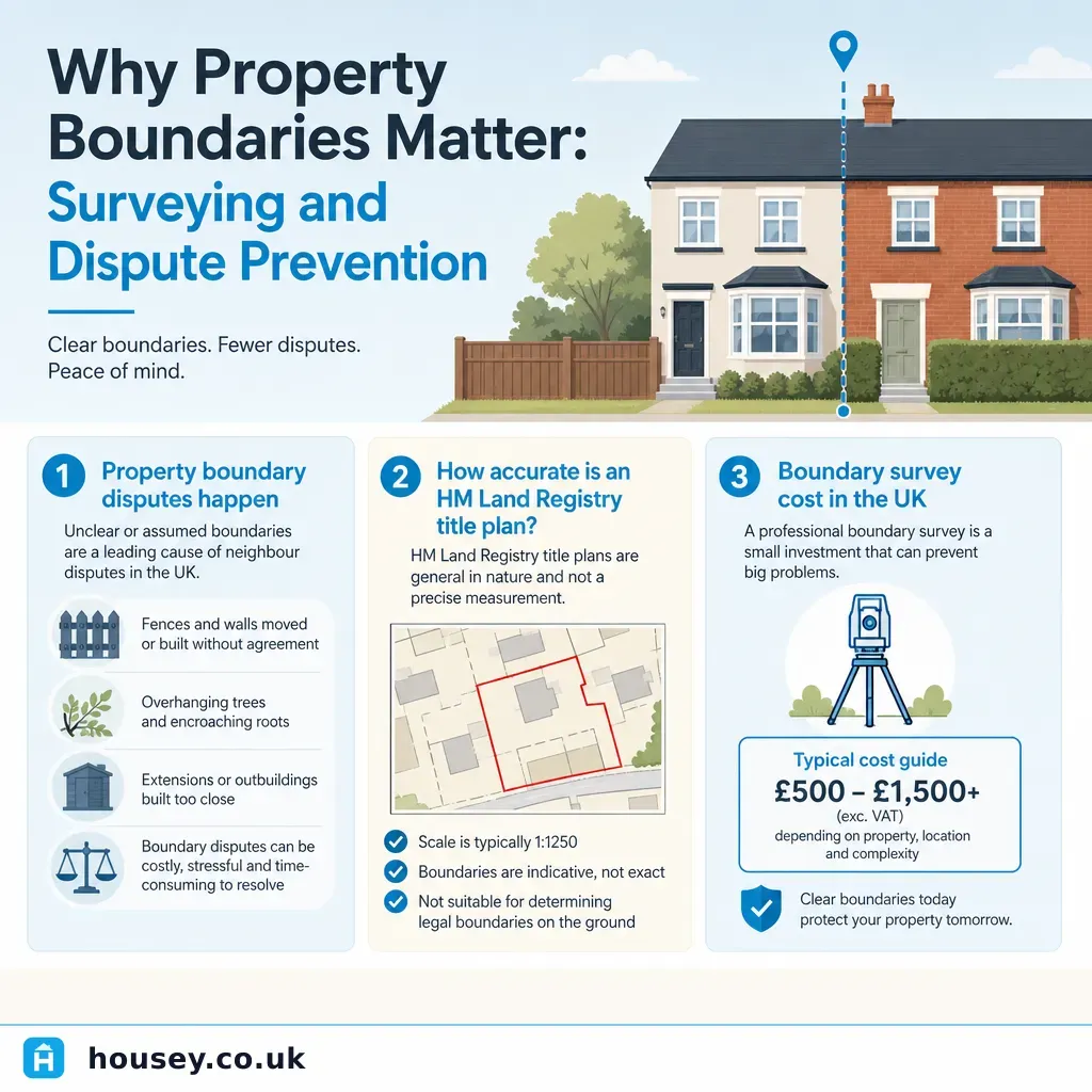
Why Property Boundaries Matter: Surveying and Dispute Prevention
Property boundaries in England and Wales are recorded as general boundaries by HM Land Registry — not precise measurements.
 Surveys & Inspections
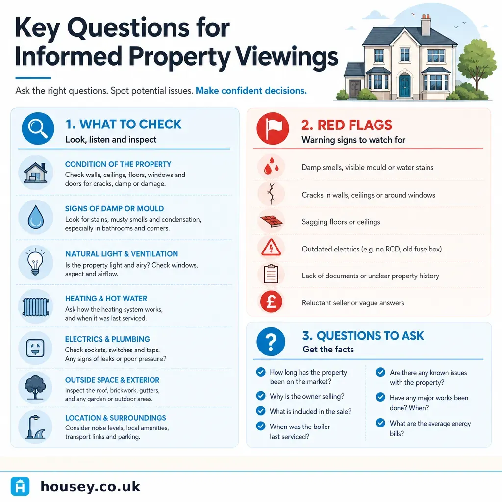
Key Questions for Informed Property Viewings
At a property viewing, ask specifically about structural movement, damp or water ingress, the age and service history of the boiler and electrics, whether any extensions obtained building regulations sign-off, and the seller's chain position.
 Surveys & Inspections
Should You Proceed Without a Formal Survey? Risks and Implications
In England and Wales there is no legal requirement to obtain a survey before exchange, but caveat emptor means any undisclosed defects become your problem the moment contracts are exchanged.